Overall this project tested my will and sanity to complete it. And while I think I did well overall, I know that there was a key error somewhere in my analysis. I think that error happened with my projections. While I set everything to the same projection, I dont think it set right as when I did a comparison with GoogleEarth of my transmission line path, my lengths were greatly off. Due to this I can only assume my acreage calculations were off as well.
But it is what it is. This was a solo project on a limited time crunch and I know that if this was the real thing, I would have been able to bounce ideas around like I normally do in the workplace.
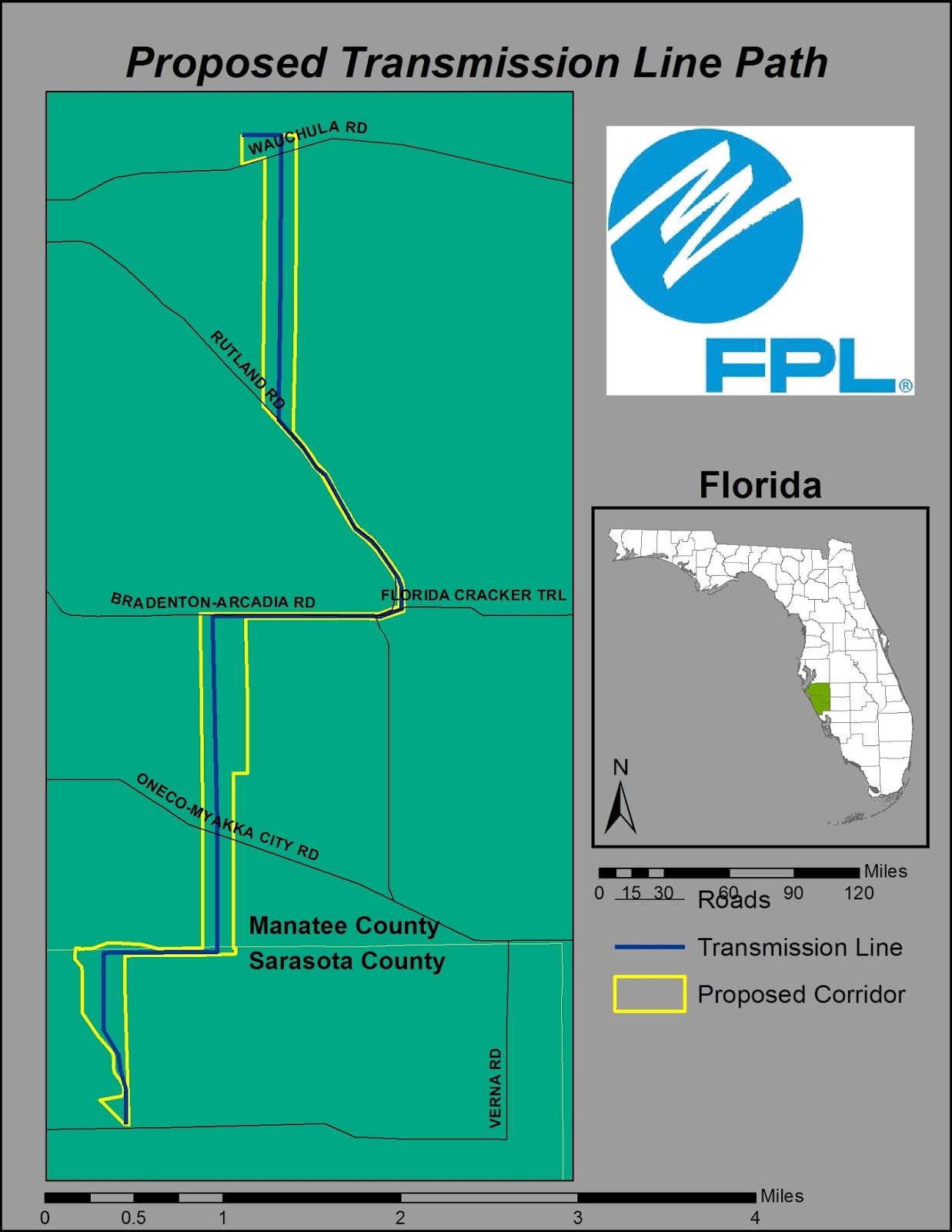
I will end this course knowing I learned much, more than I thought I would and I am really looking forward to using these skills in the future. Below you will find some of the maps I created for this project. Also you will find my full presentation and commentary in the following links. Enjoy!
PowerPoint Presentation:
http://students.uwf.edu/jl130/Intro2GIS/Final_Project_Full_Presentation_JJL.pptx
Presentation Commentary:
http://students.uwf.edu/jl130/Intro2GIS/FinalProject_Slide_Commentary.pdf


But it is what it is. This was a solo project on a limited time crunch and I know that if this was the real thing, I would have been able to bounce ideas around like I normally do in the workplace.
I will end this course knowing I learned much, more than I thought I would and I am really looking forward to using these skills in the future. Below you will find some of the maps I created for this project. Also you will find my full presentation and commentary in the following links. Enjoy!
PowerPoint Presentation:
http://students.uwf.edu/jl130/Intro2GIS/Final_Project_Full_Presentation_JJL.pptx
Presentation Commentary:
http://students.uwf.edu/jl130/Intro2GIS/FinalProject_Slide_Commentary.pdf
Study Basemap

Conservation Area Impacts

Impacted Homes

Impacted Schools

Transmission Line Path